NOV
GIS Day explores how technology connects people, data and the world
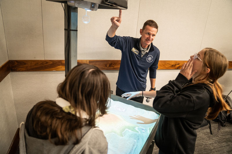 CHEYENNE, Wyoming – Every map tells a story, and GIS Day at Laramie County Community
College invites the community to explore how maps, data and technology reveal the
stories shaping our world today.
CHEYENNE, Wyoming – Every map tells a story, and GIS Day at Laramie County Community
College invites the community to explore how maps, data and technology reveal the
stories shaping our world today.
GIS Day is set for 10 a.m.–3 p.m. Wednesday, Nov. 19, in the ANB Bank Leadership Center in the Clay Pathfinder Building on LCCC’s Cheyenne campus. The event will feature presentations, workshops and exhibits from local professionals and organizations demonstrating how Geographic Information Systems (GIS) transform data into insight across industries. Admission and lunch are free.
Opening remarks and a GIS proclamation from LCCC President Dr. Joe Schaffer will begin at 10 a.m., followed by a full schedule of lightning talks, workshops and interactive sessions designed to bring GIS concepts to life.
From 10:30–11:30 a.m., attendees can hear lightning talks from:
- Manny Muzquiz, Laramie County Fire Authority – Drone Program
- Ashlee Carson, Storm of Passion – Tornado Intercept Vehicle (TIV)
- Ellie Birge, LCCC/University of Wyoming student – Wyoming Roadkill Reports Storymap
- Trevor Swarm, LCCC Artificial Intelligence instructor – Jupyter Notebook
A free lunch will be served from 11:30 a.m.–1 p.m.
At noon, keynote speaker Dr. Sean Field, assistant professor in the University of Wyoming School of Computing and Department of Anthropology, will present Using Airborne Remote Sensing to Study the Human Past. His talk will explore how GIS and remote-sensing technologies reveal archaeological insights across time and landscape.
Hands-on sessions continue through the afternoon. Trevor Swarm, LCCC Computer Science and Artificial Intelligence instructor, will lead Introduction to Jupyter Notebook from 1–2 p.m., followed by Austen Shoults, Solutions Engineer with Esri, presenting Get Ahead with GeoAI and AI Assistants in ArcGIS from 2–3 p.m.
Throughout the day, visitors can explore the GIS Expo, featuring professionals from public agencies, private industry and education. Topics include drones, mapping, artificial intelligence, computer programming and weather technology.
“GIS Day celebrates the power of ‘where’ — the ability to see patterns, connect data to place, and understand our world more deeply. It is about sparking curiosity and helping people see how technology can lead to meaningful careers,” said Trent Morrell, LCCC STEM Pathway coordinator. “Whether you’re interested in drones, AI, mapping or environmental science, this event shows how data and creativity come together to solve real-world problems.”
Visitors can meet with representatives from:
LCCC’s STEM Pathway, Information Technology Pathway, Advanced Manufacturing and Materials Center, and Grounds Maintenance; Wyoming Enterprise Technology Services; the University of Wyoming School of Computing/GIST; Wyoming Department of Transportation; Wyoming Game & Fish; Bureau of Land Management; 21st Century Equipment; Wyoming Air Guard; EdgeFlyte; Wyoming Department of Environmental Quality; Wyoming Geological Survey; Cheyenne and Laramie County GIS Cooperative; National Weather Service; DayWeather Inc.; Laramie County Fire Authority; Cheyenne Police Department; Storm of Passion: Team TIV; and the Wyoming Highway Patrol.
Go to lccc.wy.edu/GISDay for more information about GIS Day at LCCC.